A detailed close-up photographic scene of a sturdy hardwood table in a modern office, covered with a large, colour-printed site plan showing proposed plots, access roads, and green spaces for a UK land development. Beside the plan lie a steel surveyor’s ruler, a tablet displaying a digital map, and a neatly stacked folder labelled “Land Valuation Report”. Cool, diffused daylight from a nearby window creates even, professional lighting with soft reflections on the tablet screen and subtle shadows along the paper edges. Shot from a slightly elevated angle with shallow depth of field, the focus is on the central plan, conveying precision, clarity, and expert analysis in a calm, ordered environment.

Lancashire Land Valuation Services

Expert valuation, planning promotion and development strategy to unlock land value across the North West and UK.
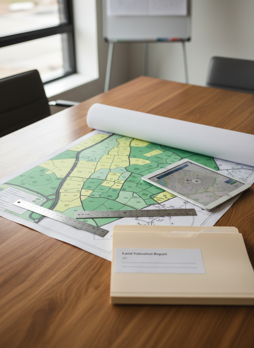
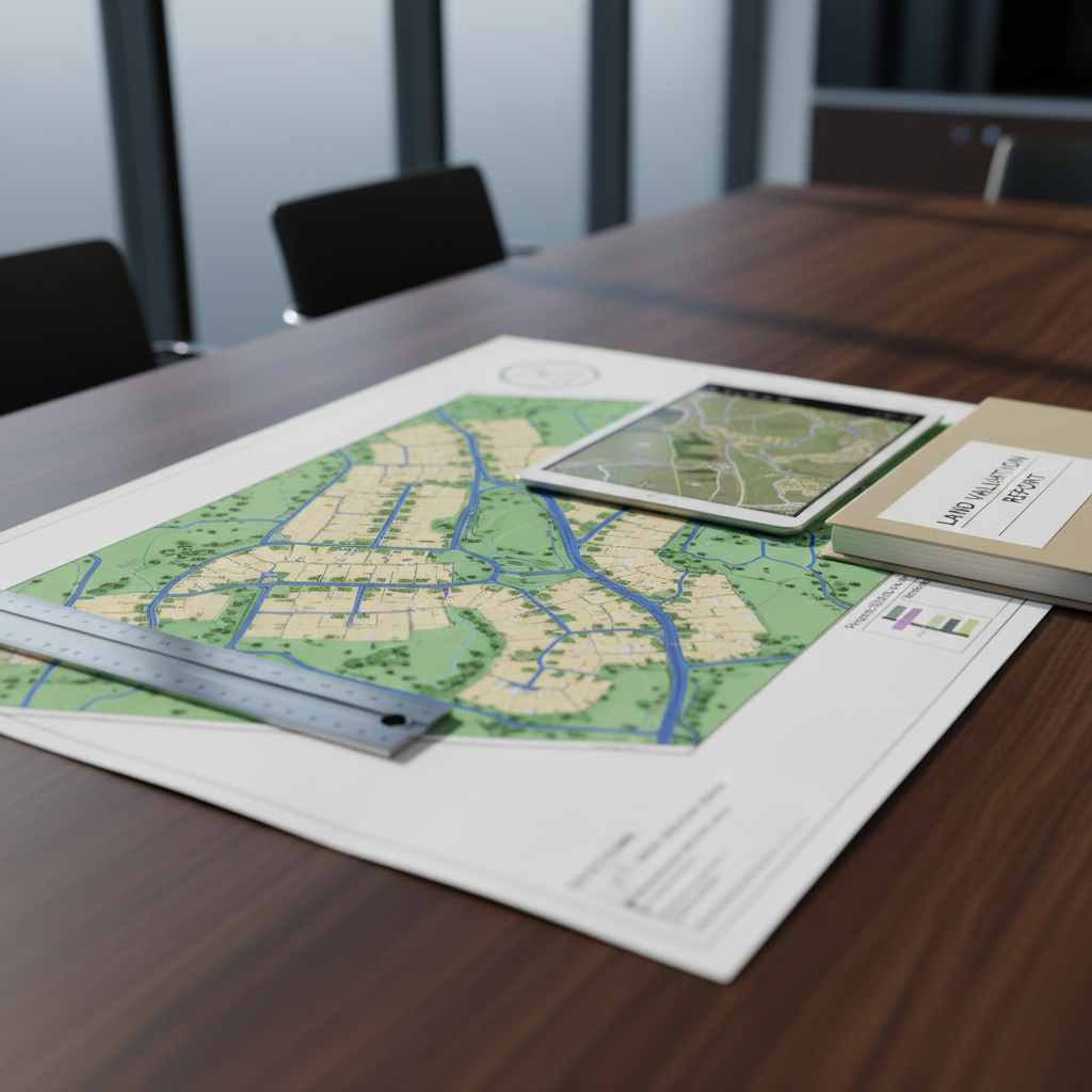
Land Valuation

A precise photographic close-up of a printed UK Ordnance Survey map spread flat on a dark oak desk, with a specific land parcel outlined in bold red highlighter and annotated with small margin notes such as “access”, “utilities”, and “constraints”. A metal compass, a laser distance measurer, and a small stack of sticky notes with neatly written valuation figures sit nearby. Natural daylight from the left creates gentle side lighting, emphasizing the crisp paper texture and engraved tools while casting modest, purposeful shadows. Shot from directly above in a clean, documentary style with sharp detail, the composition feels analytical and methodical, perfectly expressing the rigour behind professional land valuation and appraisal.

We explain what we do in plain language, with real-world examples of how landowners can increase value.

A detailed close-up photographic scene of a sturdy hardwood table in a modern office, covered with a large, colour-printed site plan showing proposed plots, access roads, and green spaces for a UK land development. Beside the plan lie a steel surveyor’s ruler, a tablet displaying a digital map, and a neatly stacked folder labelled “Land Valuation Report”. Cool, diffused daylight from a nearby window creates even, professional lighting with soft reflections on the tablet screen and subtle shadows along the paper edges. Shot from a slightly elevated angle with shallow depth of field, the focus is on the central plan, conveying precision, clarity, and expert analysis in a calm, ordered environment.

Our approach focuses on practical steps that lead to faster planning outcomes and higher end values for your land.
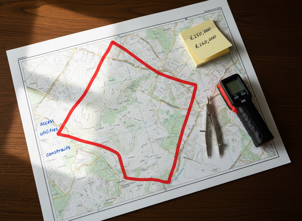
How It Works

We offer clear guidance on valuation methods, potential planning routes, and practical steps to enhance land value, with examples and checklists for landowners.